
The Snake River - Walters Ferry to Swan Falls
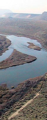
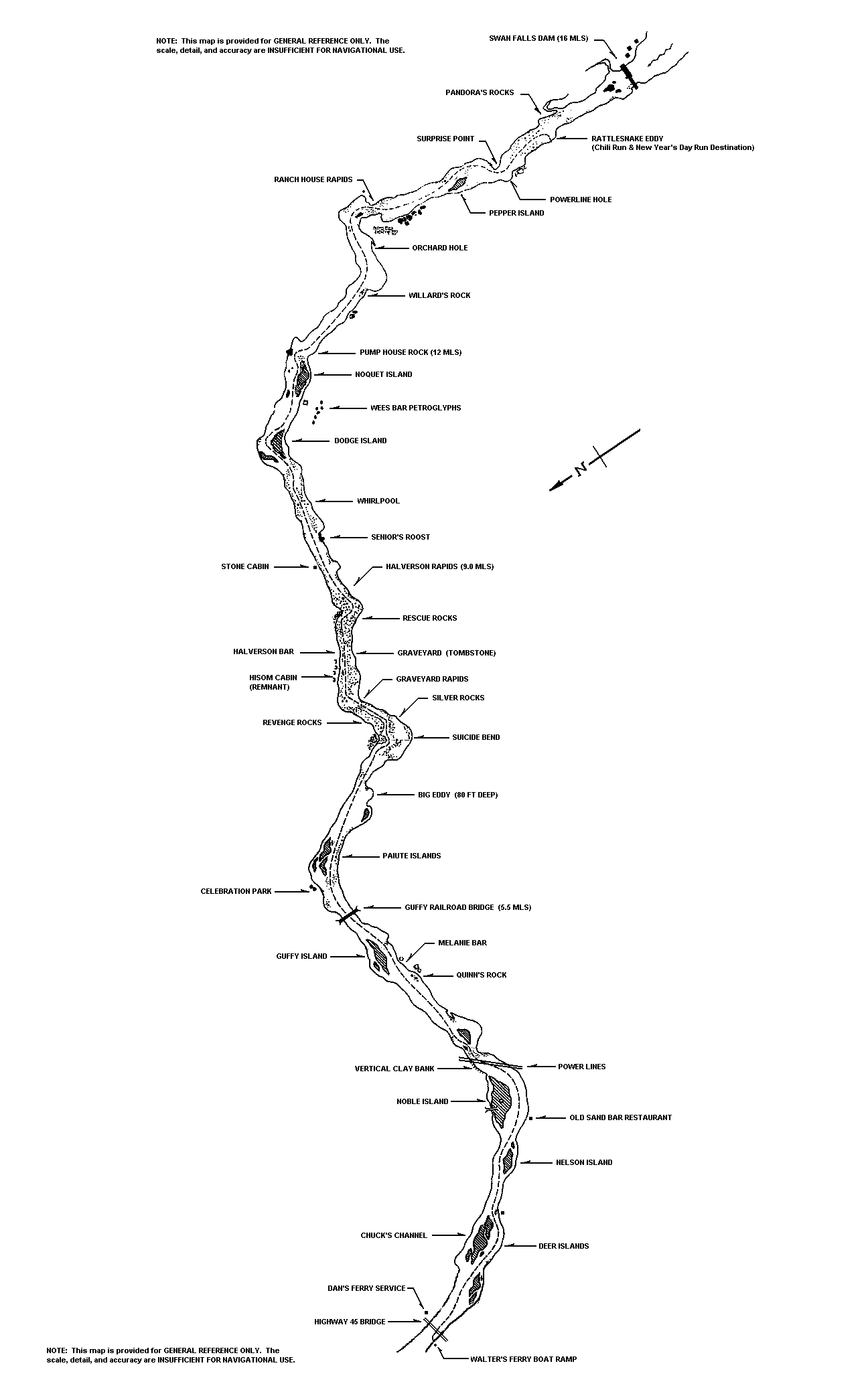
The run from Walters Ferry to Swan Falls Dam covers a distance of about 16 miles and takes a little over a half an hour to complete. The General Reference Map - Walters Ferry to Swan Falls Dam provides an overview of the route. The map is useful as a general reference source, but its scale, detail, and accuracy are not suitable for and should not be used for navigation on the river.
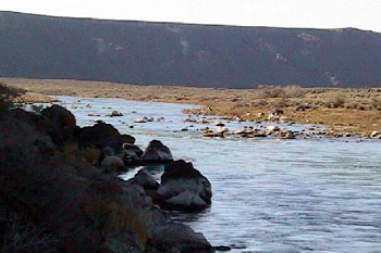
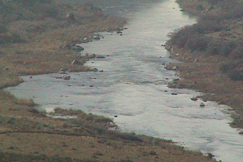
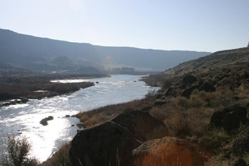
The first six miles of this run are through open valley, where the river is wide, normally unobstructed, and flow is relatively consistent throughout the segment. Through this section, the depth in the main channel generally varies from around 4 to 12 feet. In most areas, it is in the lower end of that range.
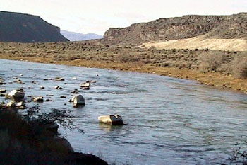
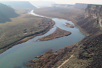
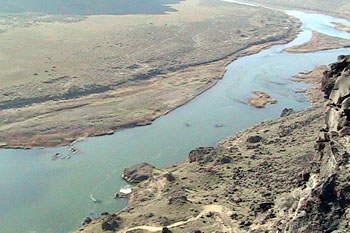
During the final ten miles of the run, the Snake flows through a canyon environment with open slopes and sheer cliffs. In this stretch, river conditions vary. Depths in the main channel can range from two or three feet to as much as eighty feet over the deepest hole. Currents fluctuate from slow water to Class III rapid.
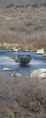
The overall run is not exceedingly difficult, but some sections are very technical. If you do not know your way, you can easily get into trouble. In fact, one area has a reputation for providing boat shops with significant amounts of repair business. Landmarks along this strip of river tell the tale: "Suicide Bend", "Revenge Rocks", "Graveyard", "Silver Rocks", "Tombstone", and "Rescue Rocks". If you are not familiar with this part of the river, it is highly recommended that you locate someone experienced with this stretch of the Snake to point the way, before you attempt it on your own.
Two sections in the upper end - Graveyard and Tombstone - are generally regarded as the greatest navigational hazards along the route. Two additional spots - one just below Pump House Rock and the other just below Ranch House Rapids - are also widely recognized as presenting significant threats to boaters. In Graveyard and Tombstone, the navigable channel wanders through a minefield of submerged boulders and lava shelves that are normally not readily apparent on the surface. Below Pump House Rock and Ranch House Rapids, large rocks that lie close to center channel are often concealed at higher river flows. While these four areas may pose the most significant navigational threats; the entire run from Walters Ferry to Swan Falls Dam is through a river environment with ever-present rocks and current hazards where due diligence and knowledge of the river is always required.
Some useful links
Snake River streamflow below Swan Falls Dam
Weather at Walters Ferry
Walter's Ferry
Information page
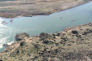
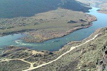
Rescue Rocks at the upper entrance to Tombstone
Above Halverson Rapids
Whirlpool
Dodge Island
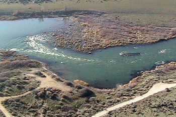
Pump House Rock
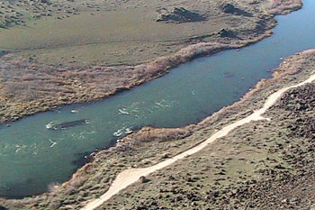
Pump House Rock and the rocks below
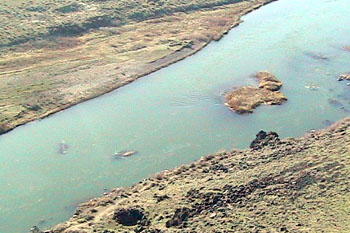
The two rocks and the lava shelf below Pump House
Pump House Rock and just above
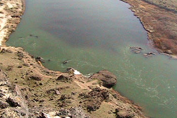
Below Ranch House Rapids
Ranch House Rapids
Ranch House and the lava bench below
The lava bench and rocks below
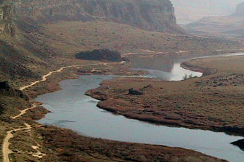
Rattlesnake Eddy
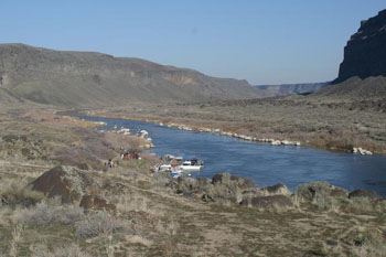
Below Swan Falls Dam